Work category:Urban Renewal Browse:2344
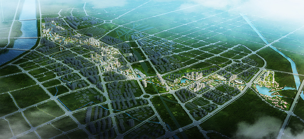
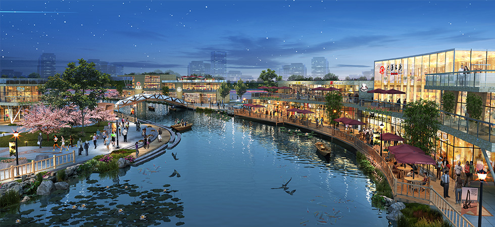
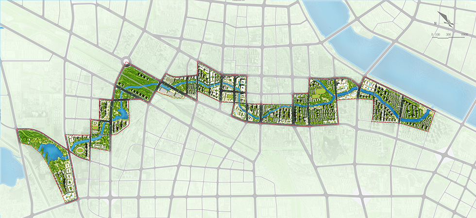
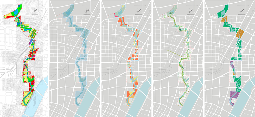
The Sanli River originates from the western slope of the Zishan Mountain, flows into the Meixi River at the Sangu Bridge on Wolong Road, and has a total length of about 18.5 km. The planning area reaches Xinchen Road in the north, Binhe Road in the south and the regions one block away from each side of the blue line of the riverway in the east and west respectively, has a length of about 8.7 km and covers a total land area of about 4.3 km2. Based on the Zhuge Liang Memorial Hall, having introduced the wisdom culture of the Wisdom Sage Zhuge Liang to manifest the wisdom of Nanyang, the planning aims to build the Sanli River into a river of understanding the truth. The planning area is divided into the south, middle and north regions by Jianshe Road and Zhongzhou Road. The north region is the ecological natural region mainly including the green land of reservoir and will build the model pattern water bank and leisure park mainly planted with peach and winter jasmine on the waterfront. The middle region is the vigorous commercial district mainly including commercial land and will build the business travel dock and Wolong Park with culture represented by three unique handicraft articles of Nanyang on the waterfront. The south region is the dwelling district mainly including residential land and will build the Laohui Square with pyrography as the theme.


 原创先锋
原创先锋